| Monday, April 7, 2003 |
10:01 - Photographic quandary
|
(top)  |
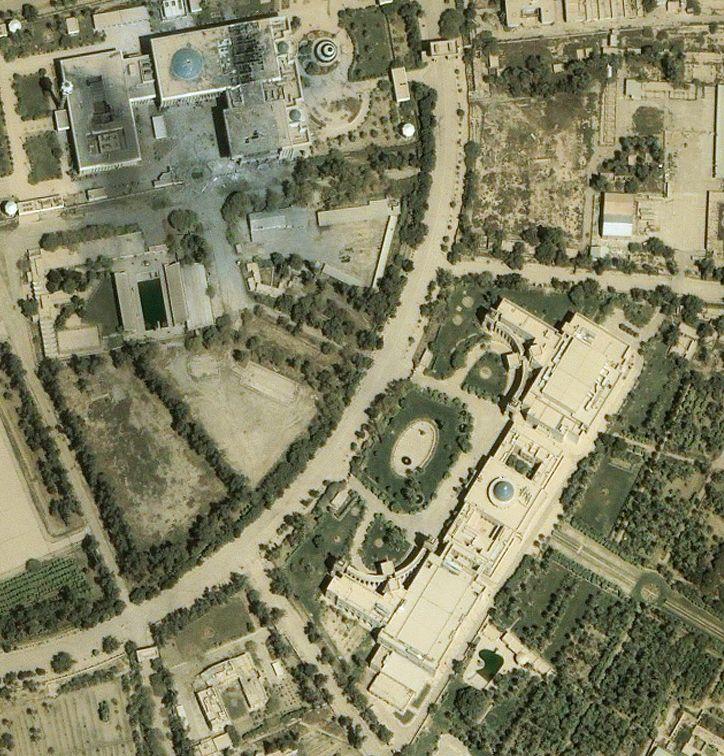
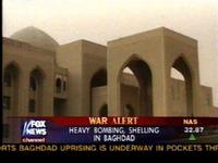
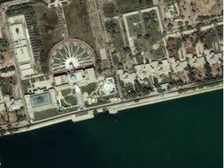
I've been trying to figure this out since last night... watching the Fox footage of the 3rd Georgia State Battalion rolling into the downtown Presidential Palace and parking an M1 in the portico, I just can't seem to reconcile the view they're showing with any of the satellite photos.
 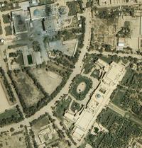
The buildings in the upper left and the lower right have both been labeled "Presidential Palaces" at some point or another; the upper one is what Glenn Reynolds pointed out as the Republican Palace when he posted the satellite images, and the lower-right one is the one they kept pointing to on the video-board on TV as the one they were occupying right now. (The video from across the Tigris showed the wide flat area by the riverbank, out behind the lower-right palace.)
But I can't seem to decide where on either of these buildings the Fox video was shot from. There are these two porticos, sort of "linked" by a small covered causeway; and there's a dome in the background. I can't find the angle on the building, in the satellite photo, where that would be possible. There are those two portico structures in the curved colonnade areas out front, but the video seems to show a straight colonnade wall... and the rear, taller portico seems to blend right into the colonnade wall, after a low shoulder area, rather than being in an angle behind the curved wall as the satellite photo shows.
Can anybody shed some light on this? Are they maybe at some completely different location?
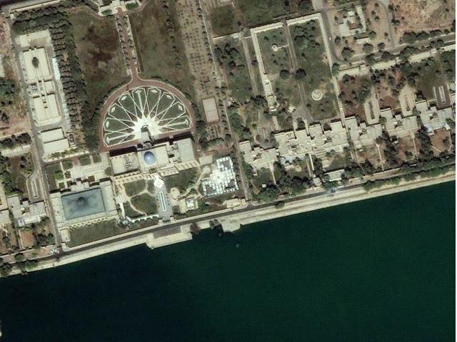
UPDATE: Ah! It's not this palace at all; it's the "New Palace", further west along the riverbank:
Thanks to Capt J.M. Heinrichs for setting me straight!
|
|